Trail Description
Moderate trail that goes along the Rio Santa Barbara. This is the most frequently used of the trails in the Santa Barbara Divide. This trail provides the closest access to the Truchas Lakes from the north. No Fish Lake is located at the base of the Divide. Although the total elevation gains over 3,000 feet, the climb is fairly gradual.
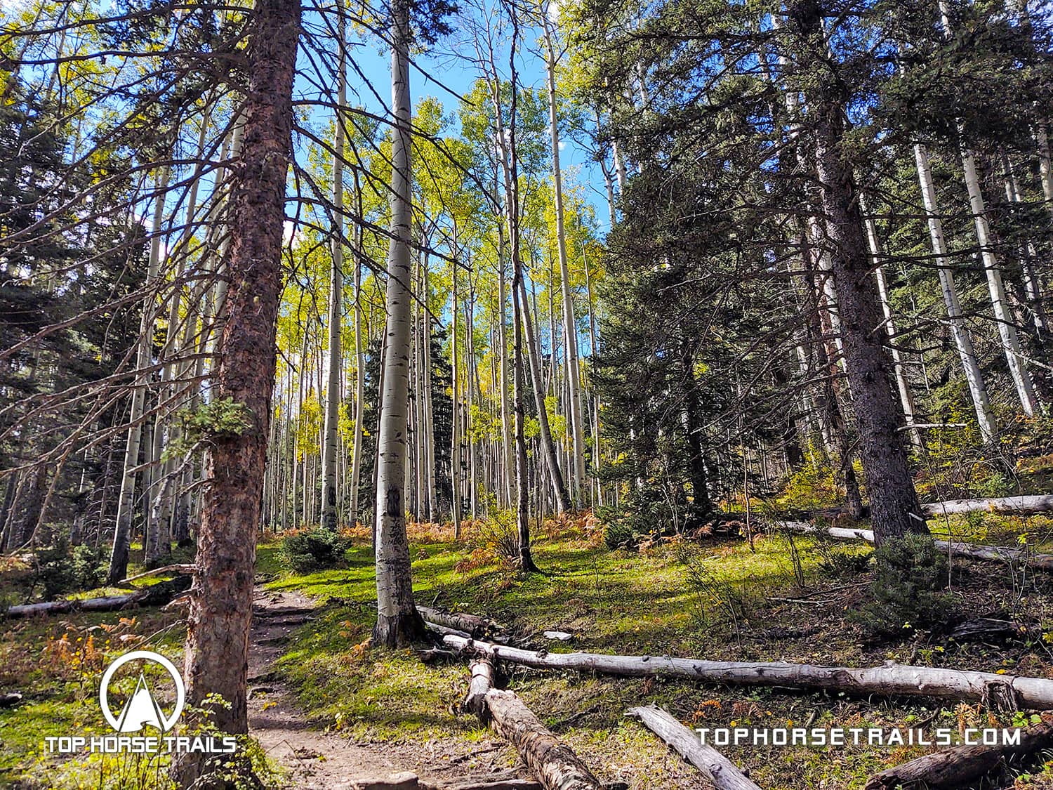
About 3 miles up the canyon on Trail 24, you will encounter the turnoff to Trail 25. At this point the canyon branches with the Middle Fork and West Fork of the Rio Santa Barbara. The West Fork Trail continues up the canyon which broadens into a large open meadow, where a magnificent array of wild flowers can be seen during July and August. As you continue traveling south on Trail 25, the canyon gradually narrows again. The trail crosses to the west side of the river about 3 miles from the Middle Fork turnoff and the trail begins to ascend high above the river in a series of long gentle switchbacks.
Chimayosos Peaks dominates the view to the northeast as the trail continues to climb up the canyon. No Fish Lake (11,600’) can be seen along the trail just before the final ascent to the Santa Barbara Divide (12,000’). This shallow lake will not support fish since it freezes solid during the winter months. It is located well below the main trail. If you wish to see it be alert and watch for the turn off as you travel up the canyon. Camping is prohibited within 300’ of all lakes. The divide is also the Carson/Santa Fe National Forest boundary. Trail #25 continues to the south onto the Santa Fe to Trail #251 and Truchas Lakes (2.2 miles).
Cross-country ski travel into the Pecos Wilderness is becoming more popular. The terrain will vary along these trails with the gentlest gradient located in the first four to five miles, becoming progressively steeper. In winter snow depth also increases here, though south slopes will sometimes have bare spots. Be prepared for adverse weather in the wilderness, and always beware of avalanches.
Parking Information
Trail Map
Trail Ratings
Trail Conditions / Rider Comments
Sign-in Now!
Trail Reviews
Maps & Documents
Nearby Horse Camping
Trail Gallery